Main Menu
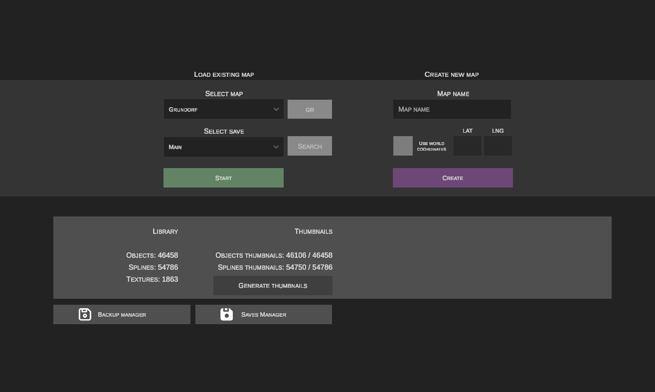
1. Loading an Existing Map
This section allows you to continue working on maps saved on your drive.
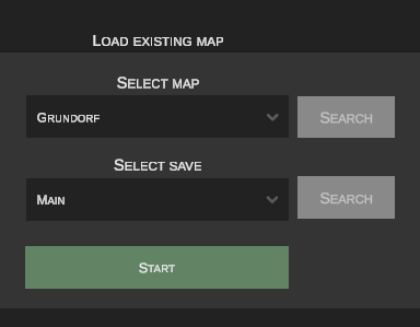
Map Selection
The dropdown menu contains all maps detected in your simulator directory:

Newly Added Maps
If a new map is added to the Maps folder from outside while nEditor is running, the selection list will not reload automatically. To refresh the map list, restart the editor.
Save State Selection
Each map can have multiple independent save states:

When opening a map in nEditor for the first time, a base save named Main will be generated automatically.
2. Creating a New Map
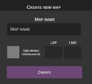
This function enables you to create a completely new map in OMSI 2 format from scratch.
Required Map Templates
nEditor does not contain built-in game files. To successfully generate a new map, the clean map template provided with the original game is required:
New Map Name
Enter a unique directory name for the new map (without spaces or special characters):

Geographic Coordinates (GPS)

- Fictional map: Leave the checkbox unchecked.
- Real-world map: Check the Use real-world coordinates checkbox to unlock input fields for the starting GPS coordinates.
Enter the geographical coordinates in decimal format:
* Latitude (lat)
* Longitude (lng)
Example (Berlin – Rathaus Spandau):
lat: 52.535153,lng: 13.199932
Accurate coordinates are crucial for the proper alignment of aerial satellite imagery and Digital Elevation Models (DEM).
No Reverse Conversion
nEditor does not support converting a fictional map into a real-world coordinate map automatically. To achieve this, use the conversion tool in the original OMSI 2 editor.
3. Statistics
This section displays an overview of scenery objects, splines, and textures indexed in the editor's local cache.
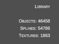
4. Thumbnails
This window displays the number of generated visual previews for objects and splines.
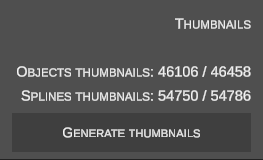
- Clicking the Generate thumbnails button starts background rendering of any missing thumbnails.
5. Backup Manager
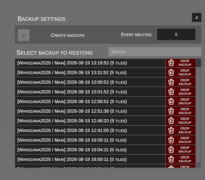
The Backup Manager periodically takes snapshots of your map progress at regular intervals, protecting against crashes and data loss.
| Menu Icon | Manager View |
|---|---|
 |
 |
Backup Settings
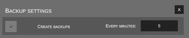
- Create backups: Checking this option enables automatic snapshots.
- Every minutes: Defines the snapshot interval (e.g., every 15 minutes).
Restoring and Deleting Backups
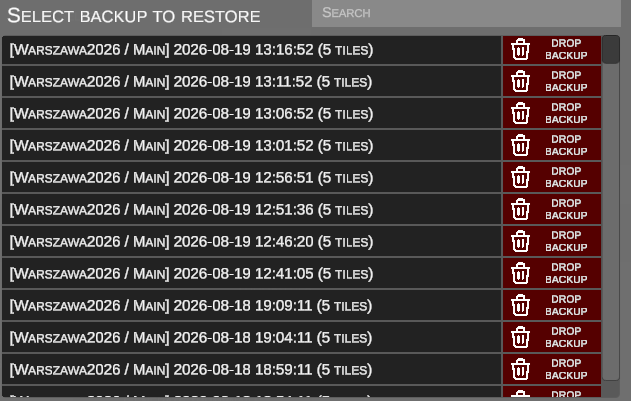
- Restoring a backup: Clicking the black button with the map and save name copies the archived snapshot into the main database as a new, independent save state.
- Deleting a backup: The Drop backup button permanently deletes the selected backup snapshot.
6. Save Manager
An advanced inspection and modification tool for the nEditor internal database at the map, save, and individual terrain tile levels.

Main Save List
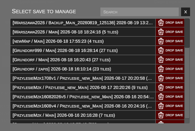
- Black buttons with save names: Expand the list of tiles associated with that save.
- Red Drop save button: Deletes the entire save state. If all nEditor saves for a given map are deleted, reopening the map will reload raw data directly from the OMSI 2 simulator files.
Save Details and Tile List
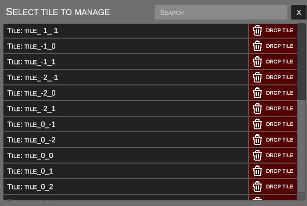
- Tile Name: Expands a detailed property sheet of the selected sector's geometry.
- Drop tile: Permanently removes an individual tile from the save.
Risk of Save Corruption
Deleting a tile or manually editing raw parameters can lead to scene inconsistencies. Exercise caution.
Specific Tile Inspector
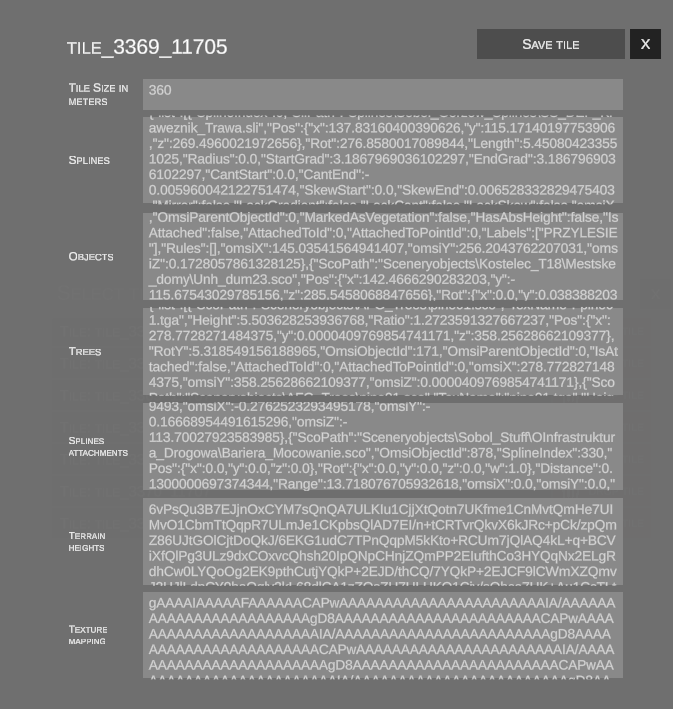
This window displays raw data defining the tile structure: * Tile dimensions and coordinates * Splines and connectivity nodes * Scenery objects and vegetation * Spline-attached objects * Digital Elevation Model (DEM) height grid * Surface terrain texture masks
The Save tile button permanently writes changes to the database record.